“ USING DIGITAL PROCESSES TO DEMOCRATISE ENVIRONMENTAL INFORMATION ”
TENEVIA was created in 2012 by Arnaud BRUN and Georges-Marie SAULNIER to put nearly ten years of scientific research to industrial use. With a Masters in geography: ″Territorial Systems, Sustainable Development and Decision Aids″, Arnaud specialises in water and environmental management. With his Doctor’s qualification from Grenoble’s Institut Polytechnique (Grenoble INP), Georges-Marie is a hydrology researcher at the Centre National de la Recherche Scientifique – CNRS.
It was in 2010, in the context of the European Alp-Water-Scarce project, that Georges-Marie and Arnaud launched their IMAGINE project. Thanks to the Grenoble Alpes Innovation (GRAIN) and Grenoble Alpes Valorisation Innovation Technologies (GRAVIT) incubators, their technological project became a reality in the form of a simplified joint-stock company: TENEVIA.
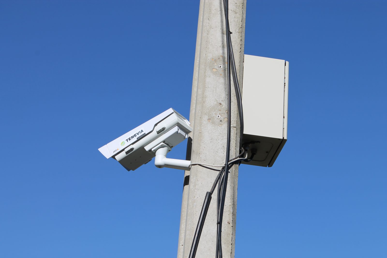
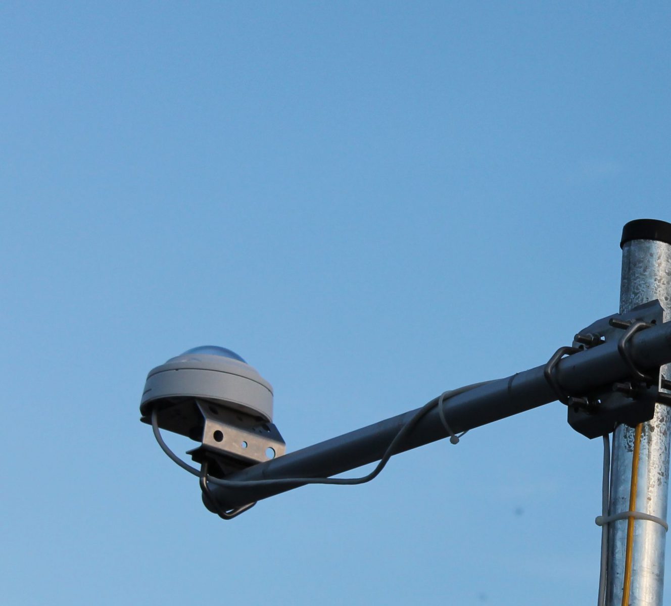
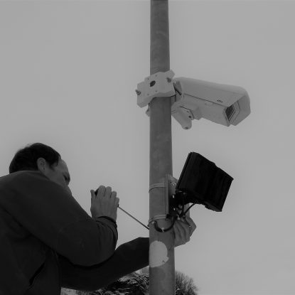
Right from the start, the company became the first to market an operational water measurement solution using video. This TENEVIA RiverBoard® solution uses a video-surveillance camera to measure and monitor waterways. With the backing of the French Ministry for Research and the Rhône-Alpes region, the new company was awarded the Jeune Entreprise Universitaire (New University Company) and Jeune Entreprise Innovante (New Innovative Company) labels in 2013.
Using the feedback from its first clients, TENEVIA rapidly constituted a range of products and services based on its innovative technology. By listening to the different requirements of each user, the company created a real product-based ecosystem. TENEVIA also has a number of technological partners so that its clients can benefit from a range of rigorously selected accessories.
In 2015, to accelerate its development and democratise the use of its solutions, the company strengthened its financial capacity through a 1 million euro (1M€) financing operation. TENEVIA has been awarded several sources of financing from the private and public sectors, including:
- the support system for innovative SMEs created by TOTAL Regional Development to back the innovation and growth of small French companies ;
- financing from BPI France, the French public investment bank ;
- support from the Institut Européen d’innovation et de technologie for the adaptation and reduction of the impacts of climate change (Climate KIC) ;
- Business Angel private investors ;
Today, TENEVIA’s goal is to sell its solutions worldwide. To find out more about TENEVIA and get all the news on the company, follow our LinkedIn page.
“ EXPERT IN DEVELOPING ENVIRONMENTAL DATA PRODUCTION SOLUTIONS, TENEVIA IMPLEMENTS A RANGE OF SKILLS IN A VARIETY OF FIELDS ”
Computer processing of images and views
-Mono, stereo and all-directional camera calibration
-Monoscopic and stereoscopic measurements
-Filtration, segmentation, classification, form and contour detection, etc.
-Image recalibration, movement estimation
Modelling and instrumentation in environmental sciences
-Hydro-Meteorology (flood forecasts, water resource management, impact of climate change, snowpack dynamic)
-Nivology Glaciology
-River Hydraulics
-Hydrometry (assessment and field measurements)
-Geomatics (Geographical Information Systems– GIS)
-Remote detection
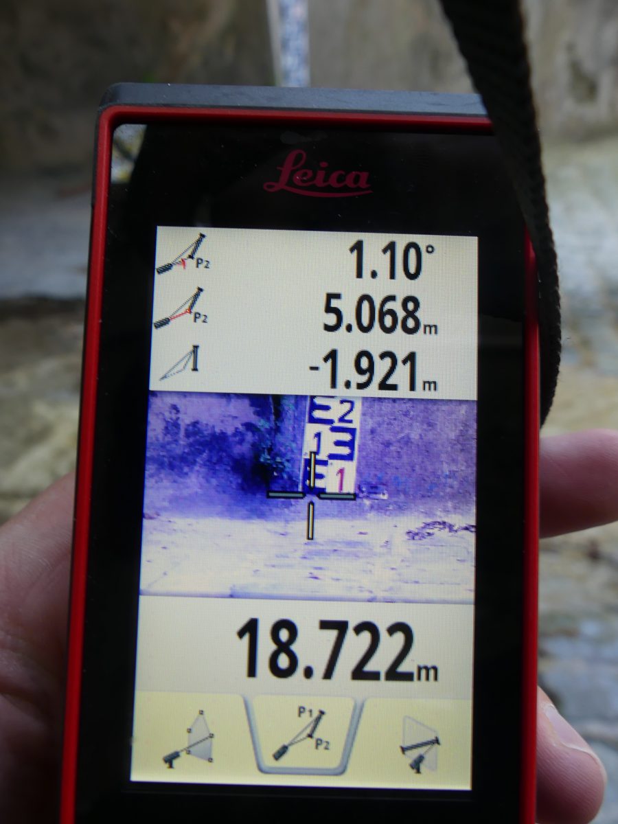
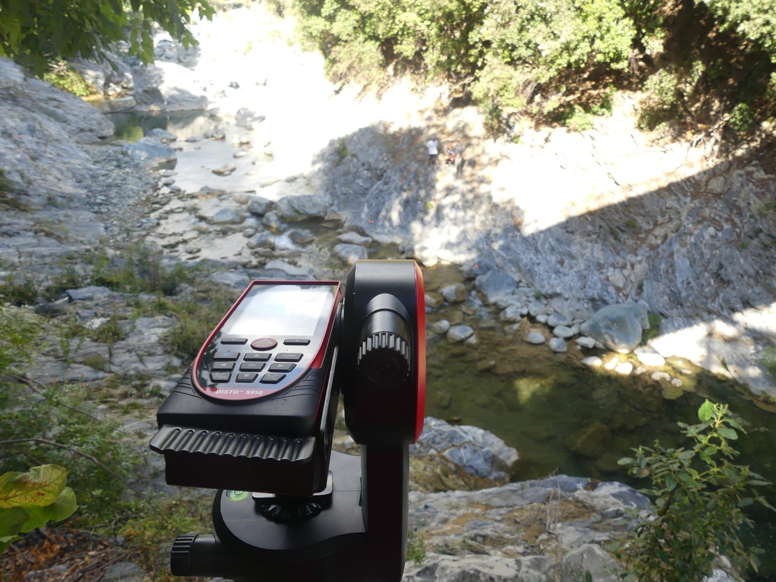
-Topometry (laser grammetry surveys, theodolites, range finders, etc.)
Measurement and instrumentation
-Hydrometric measurements (bathymetry and speed profiles) using image analysis, electromagnetic current meter, Acoustic Doppler Current Profiler (ADCP), radar gun
-Topometry using a 3D laser scanner and laser distance measuring device
Data and numerical method sciences
-Multivariate statistical analysis, statistical learning
-Machine learning, Deep Learning
-Numerical optimisation
-Sensitivity and uncertainty analysis, data assimilation
Computing
-Scientific computing, simulation, Cloud computing
-Designing and developing man-machine interfaces
-Designing and developing Web Services
-Developing and deploying applications in embedded and mobile desktop and cloud architecture
-Database and spatial data infrastructures

CONSULT OUR TEAM


“ TECHNOLOGY PROTECTED BY FOUR INVENTION PATENTS ”
TENEVIA’s product approach is mainly founded on two specific fields of activity. The first technological component consists of detecting and measuring information using the pixels from one or several images. The technology developed here centres on increasingly effective analysis and image processing algorithms (e.g. LSPIV method). The second scientific element that constitutes TENEVIA’s approach is the numerical modelling of environmental processes. In this case, this means using modelling software (simulators) to represent the complex and dynamic operation of natural elements, such as the catchment area, and its interactions with water, the snowpack and the glaciers…
Offered to users in the form of software, sensors, simulators or on-line services, TENEVIA’s disruptive technology proposes new perspectives on the environmental metrology market by offering access to new environmental information.
PRIZE FOR TECHNOLOGICAL INNOVATION
- 2012 winner of the Ministry of Research’s nationwide competition for innovative technologies
- 2012 winner of the prize for innovation for Grenoble University’s Centre for Research and Higher Education, awarded by the Institut National Polytechnique de Grenoble (INPG).
- 2012 Trophy for Economic Innovation in the Mountains awarded by the Banque Populaire des Alpes and the SOCAMMES.
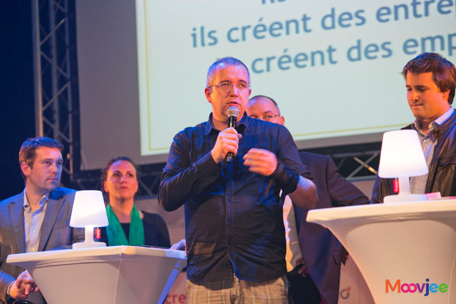
- 2013 national prize awarded by MoovJee & Innovons Ensemble, a national incubator network (Retis innovation).
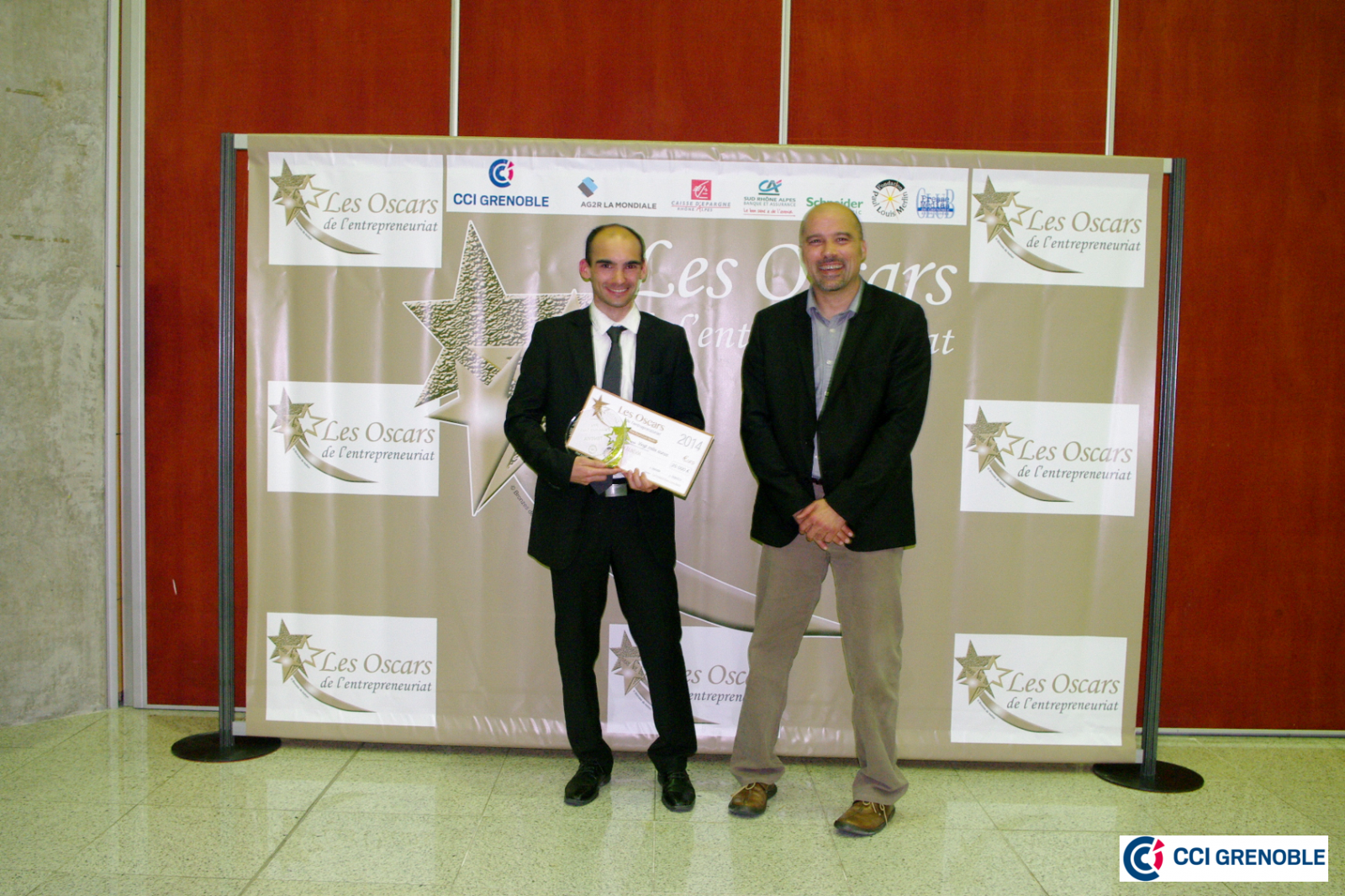
- 2014 winner of the prize awarded by the Paul Louis MERLIN foundation / Schneider Electric.
- 2014 winner in Russia’s ‘‘100 innovators – World Open Innovations’’ programme.
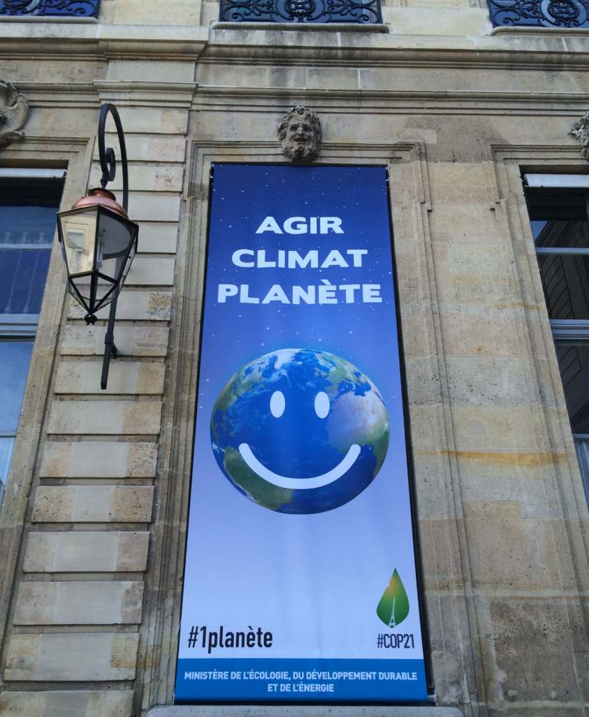
- 2015 trophy for Green & Blue growth – Ministry of Ecology (MEDDE).
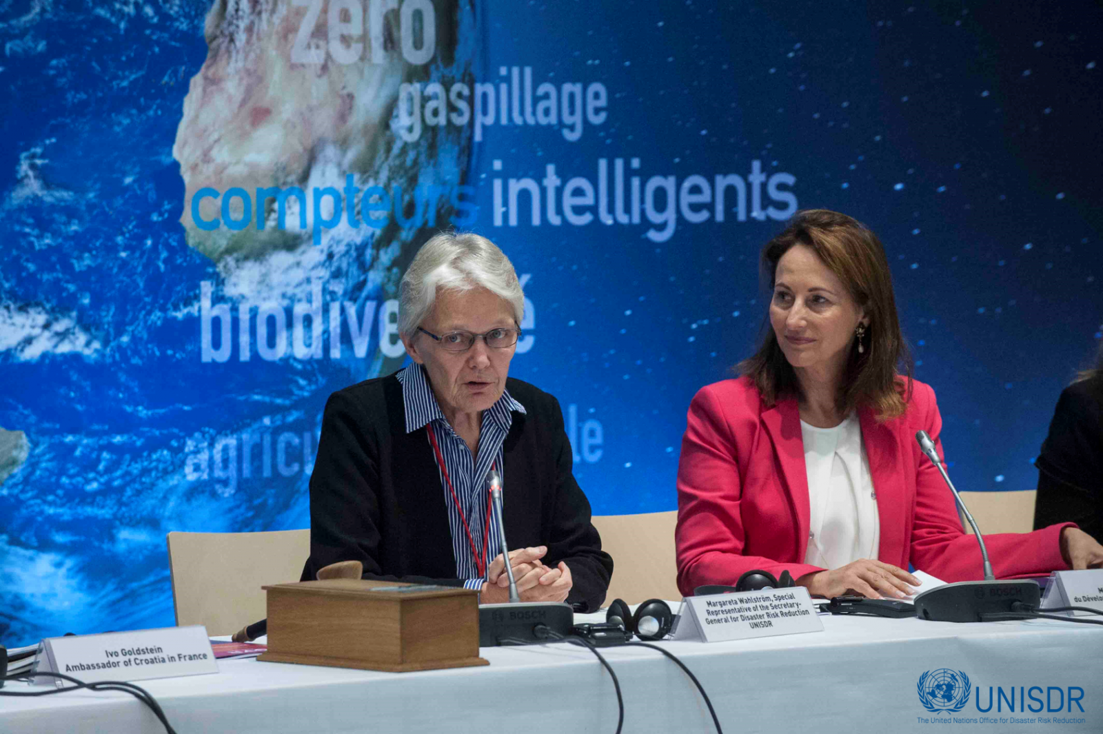
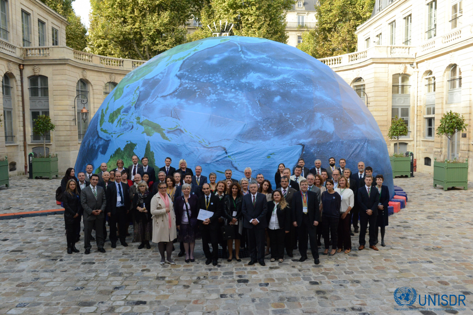
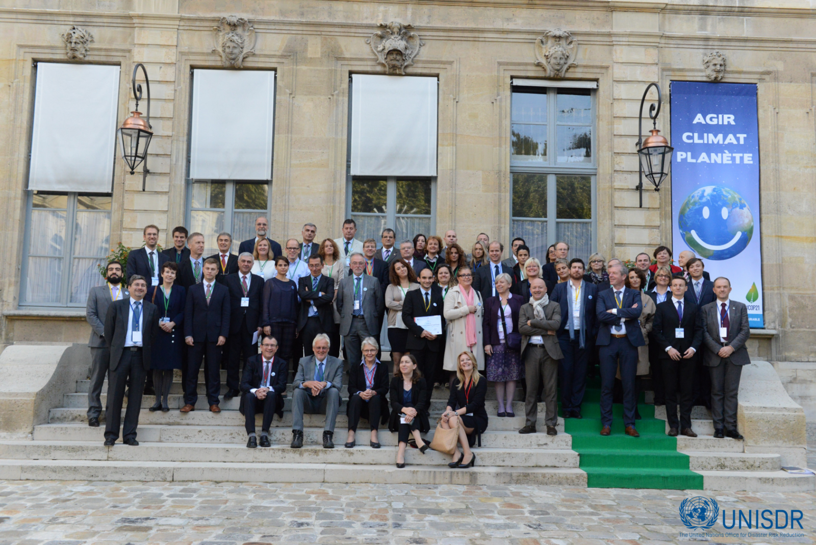
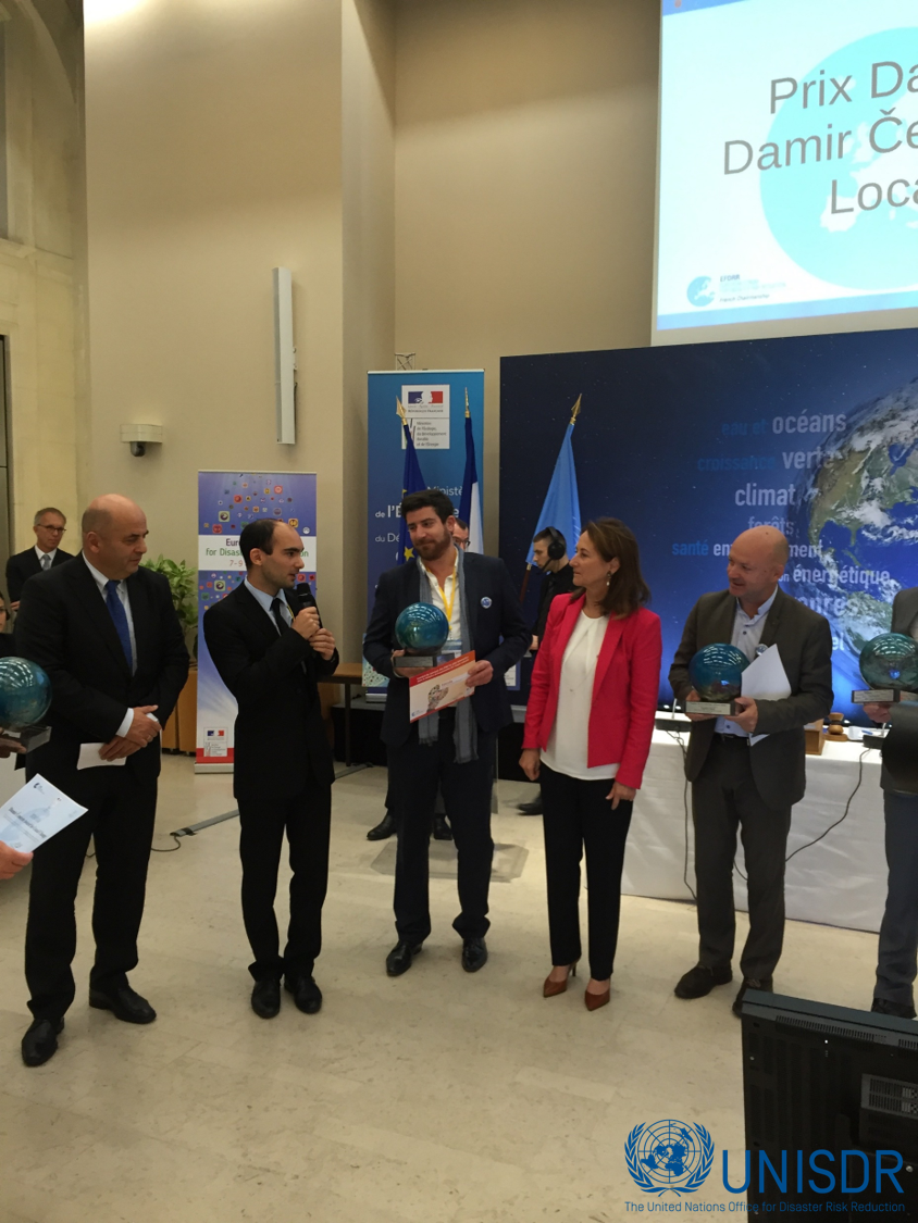
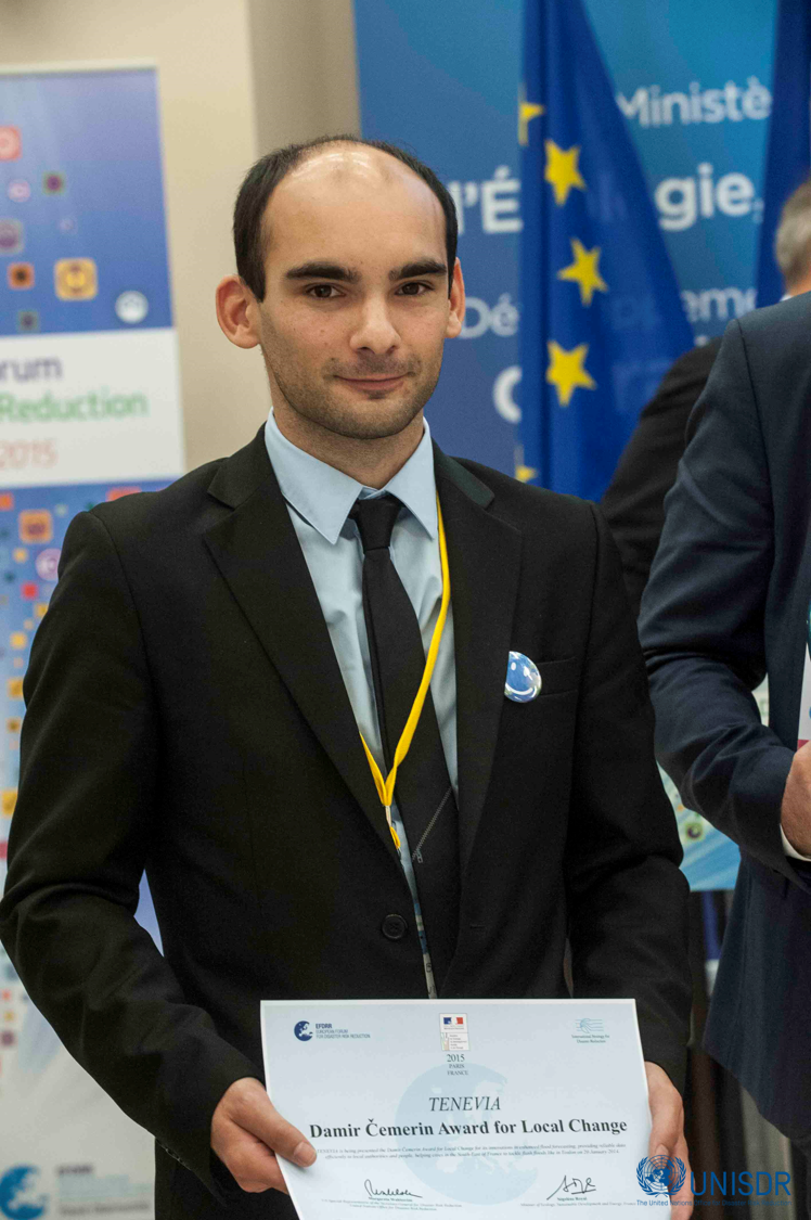
- 2015 winner of the United Nations’ Damir ČEMERIN prize – Secretary General for natural risks.
- 2016 winner of the EcoBiz “Environment & Eco-Innovation” inno-trophy.
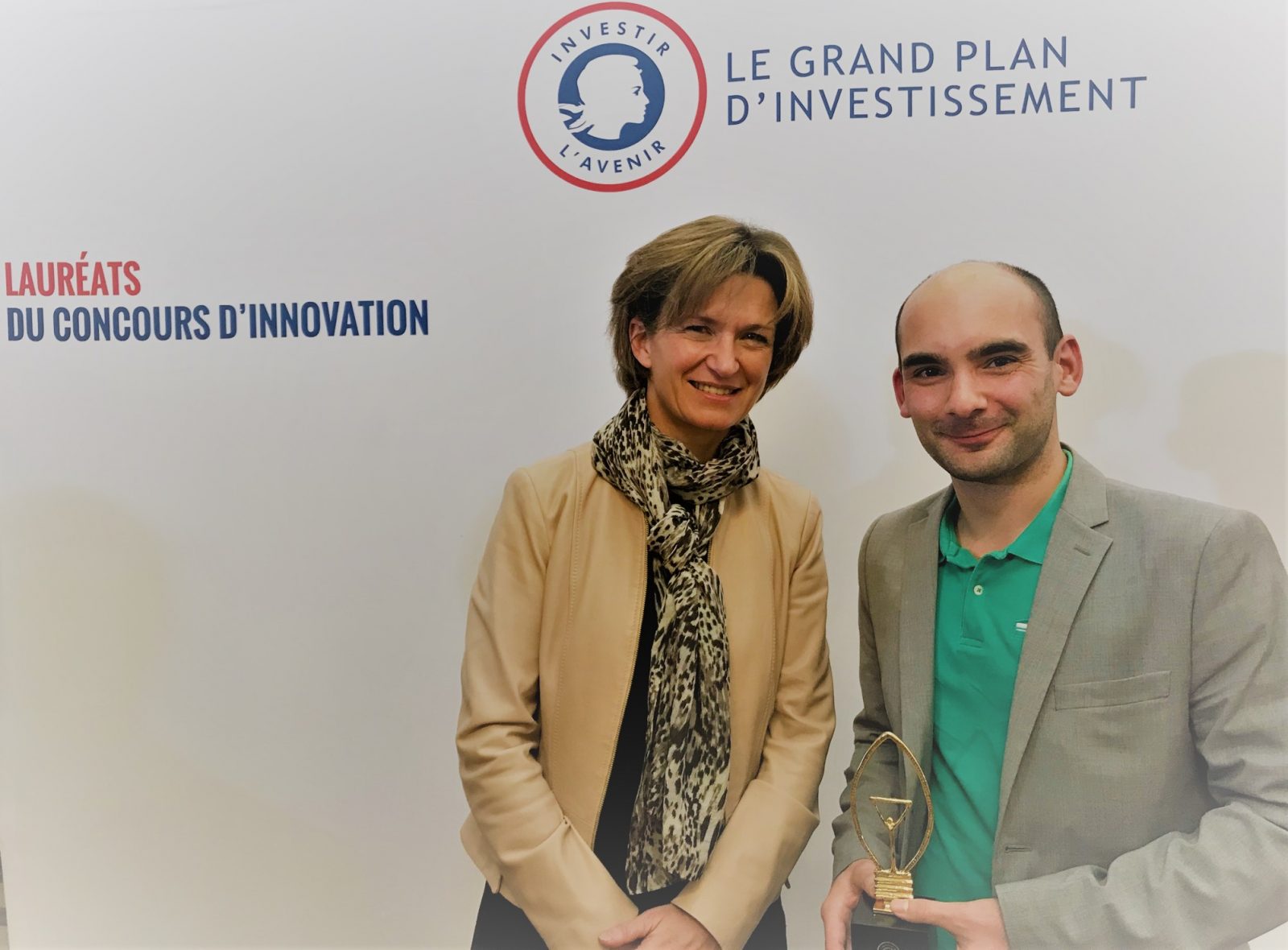
- 2019 Innovation Contest winner of the Prime Minister and General Secretariat for Investment.

SEE OUR PARTNERS
AXIS COMMUNICATIONS - IP Cameras
World market leader for IP cameras, Axis is the inventor of the network camera. Based in Sweden, the firm is present in 179 countries and is constantly innovating to improve its video-surveillance products. As a special partner of Axis Communications, TENEVIA benefits from the “Application Development Partner” (ADP) certification and distributes the company’s cameras and equipment.
LEICA GEOSYSTEMS – Topography instruments
Leica Geosystems manufactures measuring and topography solutions for professionals worldwide that can capture, analyse and present spatial information. As a distributor of Leica’s laser topography instruments, TENEVIA makes its technologies interoperable with the Leica tools to ensure an even smoother user experience.
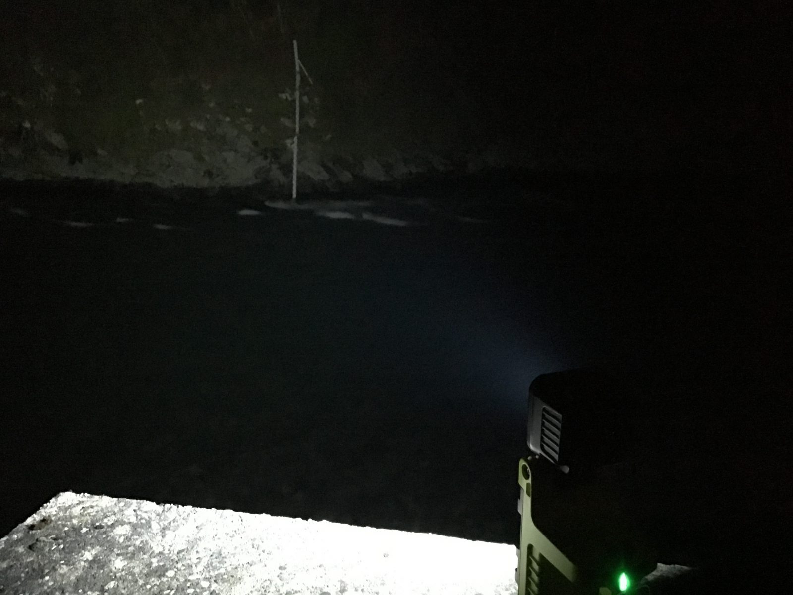
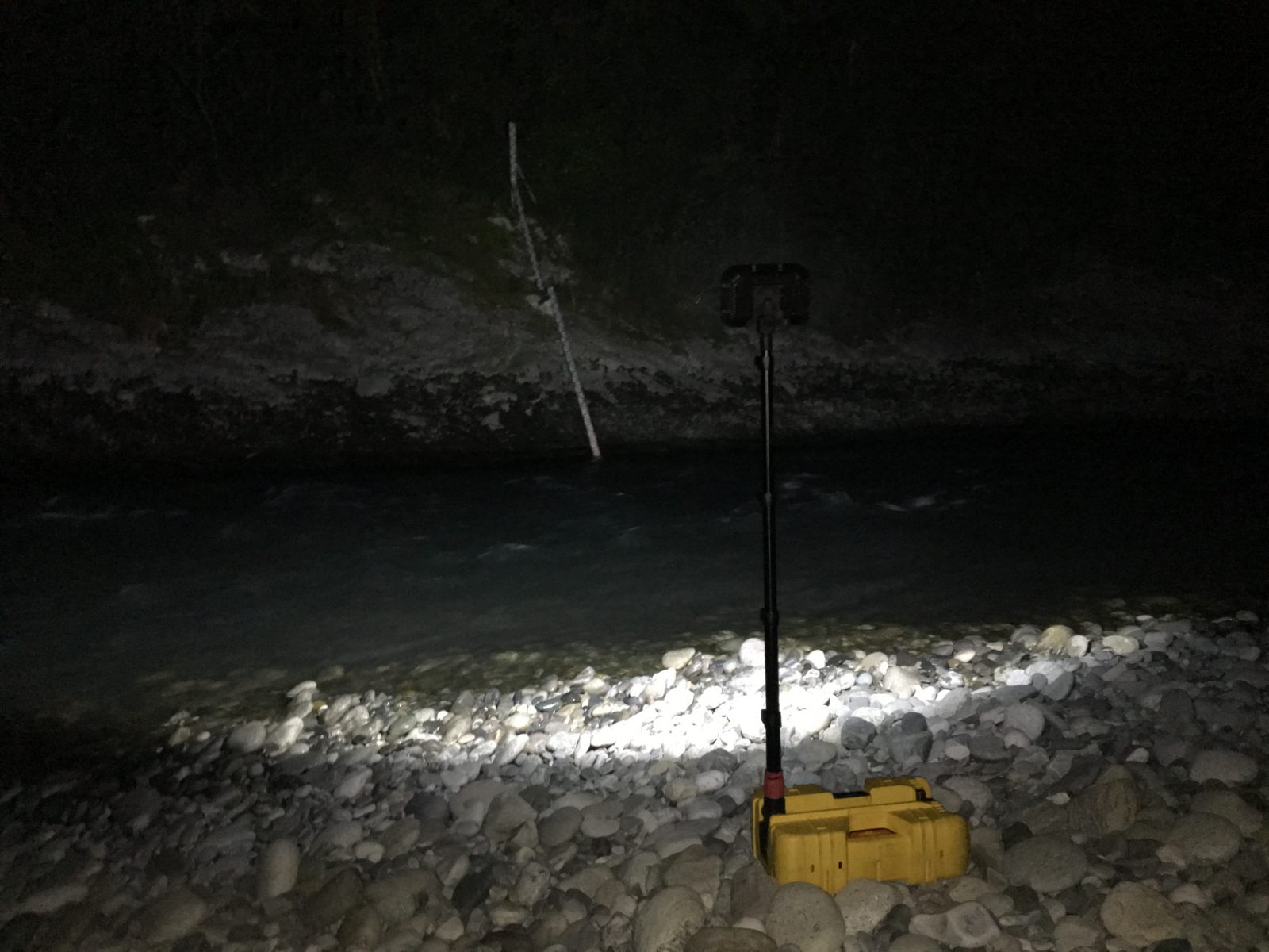
PELI - Advanced portable lighting systems
PELI (Pelican) reign as the global leader in the design and manufacture of high performance protective cases, temperature controlled packaging solutions, advanced portable lighting systems and rugged gear for professionals and outdoor enthusiasts alike. Their products are depended on by professionals in the most demanding markets including fire / safety, law enforcement, life sciences, defense / military, aerospace, entertainment, industrial and consumer. Pelican products are designed and built to last a lifetime.
SMART ORIGIN – Corporate dashboards
SmartOrgin improves decision-making by developing dashboards using your corporate data in the form of Geographic Information Systems (SIG). In collaboration with TENEVIA, the company proposes the HydroGeo dashboard which crosses your GIS data with hydrometeorological data from TENEVIA sensors and simulators.